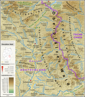
File:Bayerischer Wald - Deutsche Mittelgebirge, Serie A-de.png

預覽大小:800 × 516 像素。 其他解析度:320 × 206 像素 | 640 × 413 像素 | 1,024 × 661 像素 | 1,280 × 826 像素 | 3,100 × 2,000 像素。
原始檔案 (3,100 × 2,000 像素,檔案大小:8.99 MB,MIME 類型:image/png)
檔案歷史
點選日期/時間以檢視該時間的檔案版本。
| 日期/時間 | 縮圖 | 尺寸 | 用戶 | 備註 | |
|---|---|---|---|---|---|
| 目前 | 2021年2月23日 (二) 00:51 |  | 3,100 × 2,000(8.99 MB) | Thoroe | Update |
| 2019年1月21日 (一) 14:11 |  | 3,100 × 2,000(8.93 MB) | Thoroe | Ländernamen | |
| 2019年1月19日 (六) 18:16 |  | 3,100 × 2,000(8.93 MB) | Thoroe | {{Information |description ={{en|1=Topographic map of the Bavarian Forest}} {{de|1=Topografische Karte des Bayerischen Waldes}} |date =2019-01-19 |source ={{Own using}} *[http://gmt.soest.hawaii.edu Generic Mapping Tools (GMT)] with [http://dds.cr.usgs.gov/srtm/version2_1/SRTM3/ SRTM3 V2.1 data] *[http://www.openstreetmap.org OpenStreetMap] data *File:Karte_Bundesrepublik_Deutschland.svg by [[:User:David Liuzzo|David Liuz... |
檔案用途
下列頁面有用到此檔案:
全域檔案使用狀況
以下其他 wiki 使用了這個檔案:
- cs.wikipedia.org 的使用狀況
- de.wikipedia.org 的使用狀況
- de.wikivoyage.org 的使用狀況
- en.wikipedia.org 的使用狀況
- eo.wikipedia.org 的使用狀況
- fr.wikipedia.org 的使用狀況
- hu.wikipedia.org 的使用狀況
- nl.wikipedia.org 的使用狀況
- no.wikipedia.org 的使用狀況
- pl.wikipedia.org 的使用狀況
- pl.wikivoyage.org 的使用狀況


